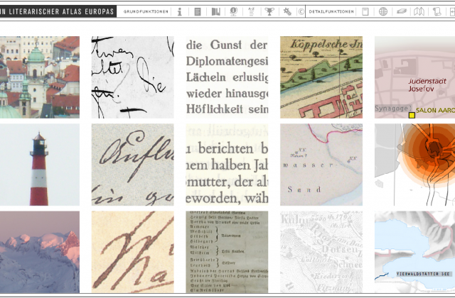
Interaktive Instrumente
Barbara Piatti, mit Visualisierungen von Anne-Christine Krämer und Anne-Kathrin Reuschel
»Ein literarischer Atlas Europas«– Die Geographie der Fiktion mit interaktiven Werkzeugen visualisieren und analysieren (Originaltitel: »A Literary Atlas of Europe« – Analysing the Geography of Fiction with an Interactive Mapping and Visualisation System)
→ mit Download am Ende der Seite
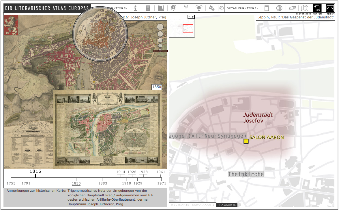
Historical Map and Literary Map - side by side
"... other maps from the same author can be called up in order to compare how the german-czech writer Libuse Monikova was using the same geospatial unit – Prague – in many different ways in her writing. In the same sense maps from other authors are available, arranged in a list. This is one of the major advantages single text mapping offers – the comparison between various ways to deal with a given extract of geospace in different works of fiction by one or several authors. Sometimes there are dozens, even hundreds of settings packed in one model regions, sometimes there are only a few important places where all the action happens."
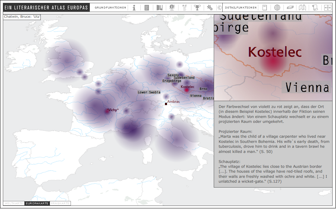
Function-change within literary texts
Bemerkung: Das Szenario kann über folgenden Link angesehen werden.
Piatti, Barbara (2011); Reuschel, Anne-Kathrin; Hurni, Lorenz: A Literary Atlas of Europe – Analysing the Geography of Fiction with an Interactive Mapping and Visualisation System, In: Proceedings of the 25th International Cartographic Conference, Paris → Download Paper